


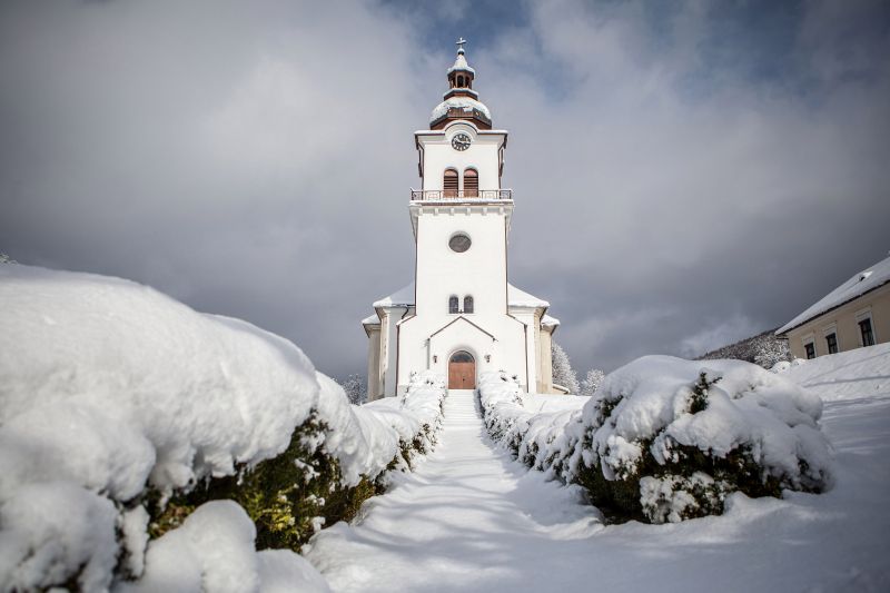
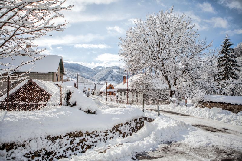
Mýto pod Ďumbierom
is a Slovak village in Brezno district in beautiful surroundings of Nizke Tatry.
The village is situated on the southern hillside of the middle part of the Low Tatras, in the valley Štiavničky.
It borders the cadastre of the town Brezno in the north-east, the village Valaská in the south, and the village Bystrá in the west.
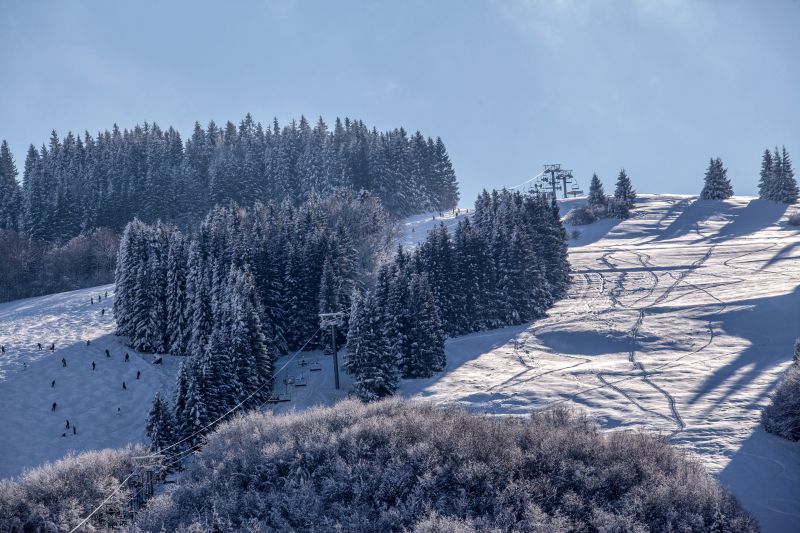
Mýto pod Ďumbierom, as the name indicates, is really situated below Ďumbier (2043 m a.s.l.), but not only below it. From the north,
the wooded mountain Veľký Gápeľ juts from a Low Tatras’
ridge towards Mýto and descends to 936 m a.s.l. of elevation above the village (Stupka). Horný Diel (842 m a.s.l.)
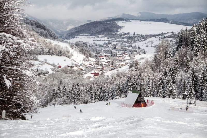
bends to Mýto from the west. Southward, it is Malý Gápeľ, which ends in the wooded surface of Zingota (1170 m a.s.l.).
Pohansko, the flattest part of the whole parish, can be found below the mountain Šánske (847 m a.s.l.),
which belongs to Kráľovohoľské Tatras. In the south, there is also woo-ded Diel (900 m a.s.l.),
which leads too the village by the narrow Frlajzová dolina valley, and through meadow slopes it rises up to Skalka (946 m a.s.l.) with a television transmitter.
In the valley Štiavničky, there is a mineral spring with increased content of iron.
More information about the village: